Verification beyond a single receiver
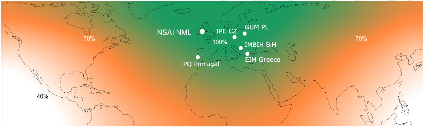
VGDS combines distributed reference nodes with a central verification platform. Multi-frequency observations from Galileo, GPS, GLONASS, and BeiDou are compared across sites and against UTC(k), a national realisation of Coordinated Universal Time. This adds independent verification rather than relying only on a receiver's assessment of its own signals.
From observations to trusted information
The verification pipeline checks navigation-data consistency, timing-reference consistency, and satellite and signal health. Verified outputs include freshness and service-state information, so users can distinguish normal operation from degraded or unavailable data. Suspect or conflicting information is not silently presented as trusted.
Two ways to integrate
Organisations can use a complete monitoring deployment with local nodes, central processing, dashboards, and alerts. Partner platforms can instead consume a secure verified data feed through documented, authenticated interfaces, without replacing their receivers or customer-facing systems.
What your team receives
Depending on the agreed integration, outputs include a secure verified data feed with freshness and service-state information, or a monitoring deployment with dashboards and alerts. Degraded or unavailable data is distinguished from normal operation so users can make informed decisions.
Evidence for operational decisions
The complementary Meridian monitoring layer identifies anomalies at customer sites, provides graded alerts, and retains records for incident reconstruction. UTC-traceable timestamps and exported evidence support investigations, assurance, and resilience risk management.